The Park East Freeway was an unfinished highway intended to extend east towards Lake Michigan and then run south along the shore. The highway met substantial opposition from Milwaukee residents and political leaders in the 1960 and 70s, resulting in only a 0.8-mile elevated spur being built. Opposition culminated in 1972 with Mayor Henry Maier's veto of federal highway funds stating,
America is the only nation in the world to let her cities ride to bankruptcy on a freeway...My city has discovered that the freeway is not free."
In the 1990s, a new Riverwalk system stretching along the Milwaukee River through the entire downtown renewed interest in the riverfront and sparked a downtown housing boom. But the site preparation and construction of the Park East had razed multiple blocks of development decades earlier, ultimately consuming 16 acres and leaving the land underutilized with surface parking lots and aging industrial parcels.
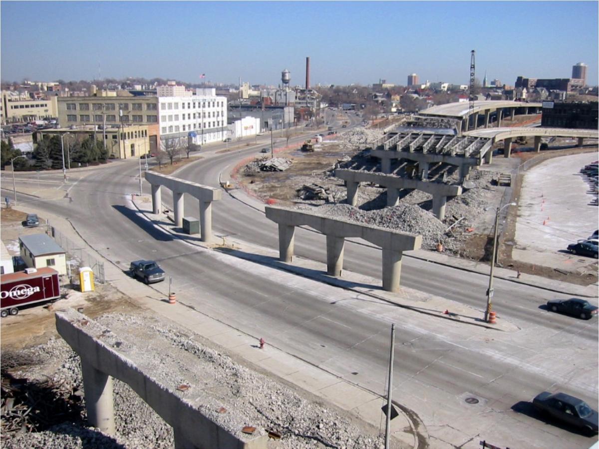
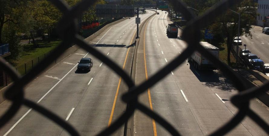
Leaders began to recognize it as a barrier to redevelopment efforts. The Park East Freeway carried only an estimated 54,000 vehicles on an average weekday. It limited access to downtown, interrupting the street grid, and funneled traffic to the only three main intersections. Then-Milwaukee Mayor John Norquist began a campaign for the complete demolition and removal of the Park East and its replacement with a landscaped boulevard. In 2002, demolition began and the removal of the spur and reconstruction was accomplished with $45 million through a variety of sources, including Federal ISTEA funds and local Tax Increment Financing (TIF).
The freeway was replaced with McKinley Boulevard, an at-grade, six-lane boulevard and the previous urban grid was restored. The City of Milwaukee led the creation of redevelopment plans for the area. Under the direction of City Planner Peter Park, the city drafted a form-based code for the renewal area to encourage development to reinforce the original form and character of the area.

Given the fairly recent opening of the boulevard, the redevelopment interest is proving the value of converting this area into a walkable urban space. Fortune-500 Manpower Corporation has moved its headquarters a block from the former highway and mixed-use developments are popping up along the boulevard as well as in the surrounding blocks. Between 2001 and 2006, the average assessed land values per acre in the footprint of the Park East Freeway grew by over 180% and average assessed land values in the Park East Tax Increment District grew by 45% between 2001 and 2006. This growth is much higher than the citywide increase of 25% experienced during the same time period.
In total, 26 acres of land spread out along 28 city blocks was opened up for development. The previous street grid was restored and three distinct new neighborhoods were created: McKinley Avenue District, Lower Water Street District, and Upper Water Street District. Under the direction of Milwaukee City Planner Peter Park, the city drafted a form-based code for the renewal area to encourage development to reinforce the area’s original form and character.
Similar Projects

Gardiner Expressway
Toronto, Canada
Built between 1955 and 1966 by the Ministry of Transportation of Toronto (MTO), Toronto's Frederick G. Gardiner Expressway is a major east-west thoroughfare that connects downtown Toronto to its western suburbs.
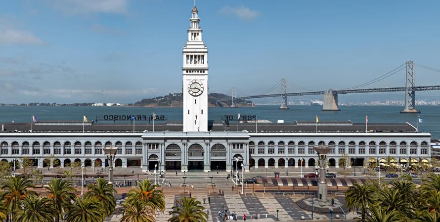
Embarcadero Freeway removal
San Francisco, California
San Francisco's Embarcadero Freeway was originally designed to connect the Bay Bridge and the Golden Gate Bridge but was never completed.