History and Context
In 1964 the State of California seized a half-mile swath of Pasadena’s most valuable land, demolishing hundreds of houses to extend the State Route 710 to Routes 110, 134, and 210. The stub now interrupts the street grid that formerly connected Pasadena neighborhoods to the east and west and separates desirable Old Pasadena from key schools, civic assets, and businesses. A similar stub was built in Alhambra and Los Angeles at the intended southern end of the route.
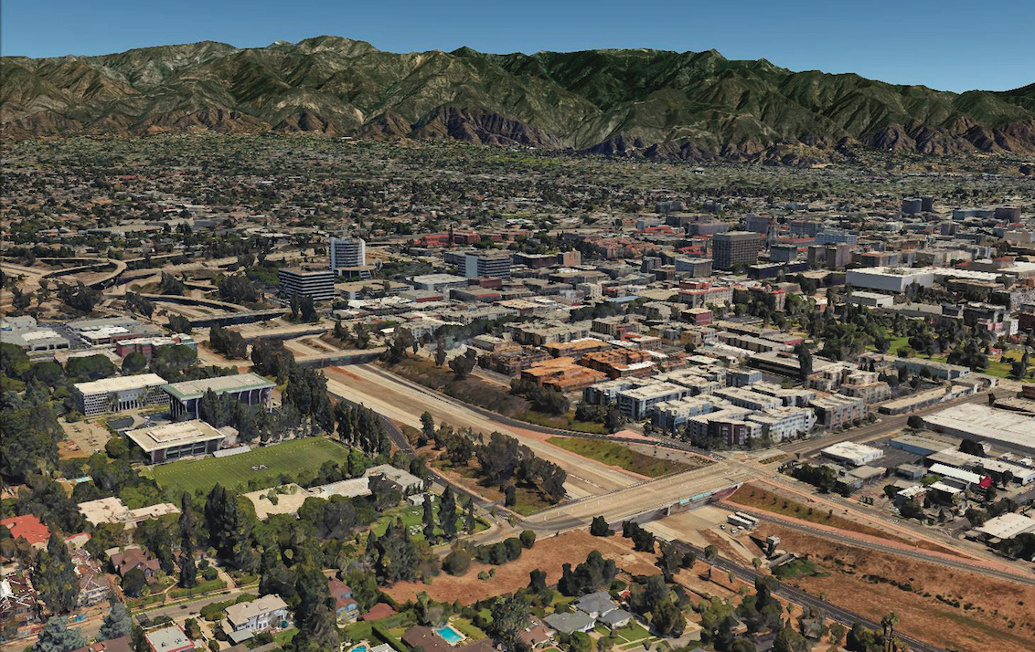
A five-city coalition—Glendale, Pasadena, Sierra Madre, South Pasadena, and La Cañada Flintridge—fought a variety of completion schemes for decades after protests from South Pasadena halted the highway’s construction and left a 4.5-mile gap between the northern section in Pasadena and the southern part in Los Angeles. In 1973 the city of South Pasadena, the Sierra Club and other organizations sued the project in federal court on environmental grounds. The resulting injunction halted construction for over the next 25 years.
Once environmental studies were complete in 1998, the Federal Highway issued a record of decision in favor of completing the highway, only to have the project halted again by another lawsuit. Caltrans continued to explore other options, including boring a $3.1-$5.6 billion tunnel to connect the two sections.
Governor Jerry Brown signed a bill in 2013 effectively killing the surface option for north 710. This left the tunnel on the table as the only freeway alternative. “Except for profiting large engineering firms, the freeway provides no benefit,” says Ian Lockwood, an engineer who helped design the CPP alternative. “Even Caltrans’ traffic models show that the proposed freeway just rearranges the congestion while solving nothing.”
Proposal
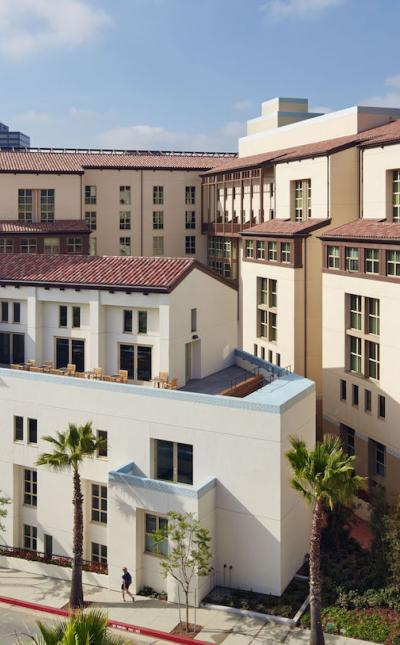
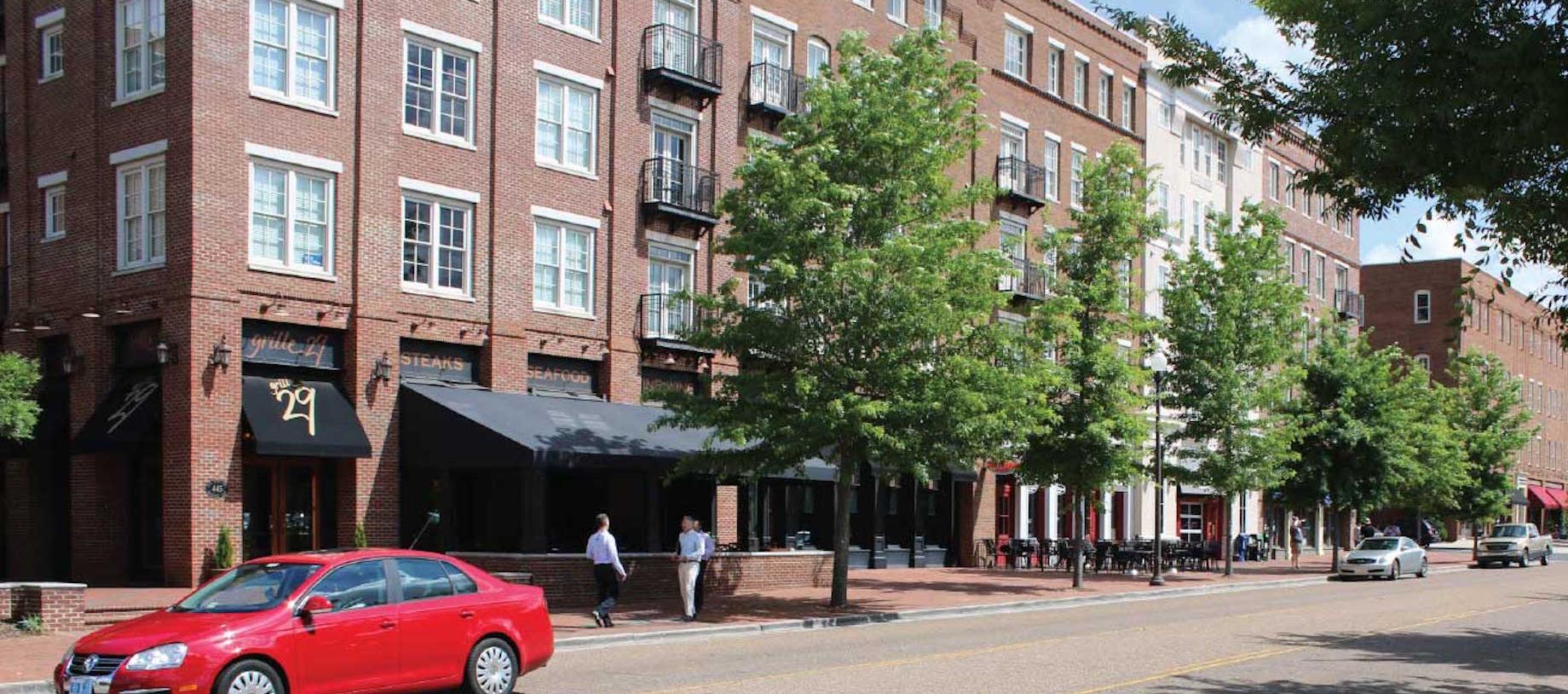
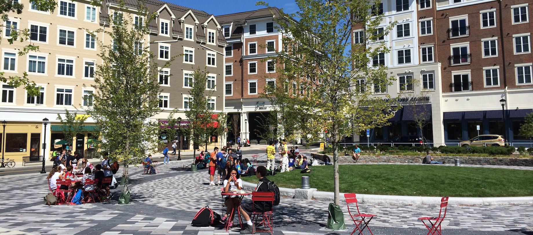
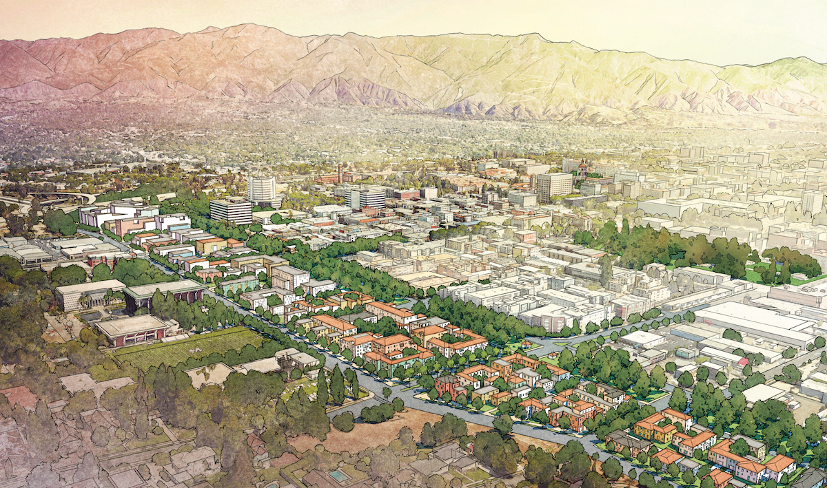
The Connecting Pasadena Project (CPP), a community-based initiative that aims to reclaim this land for mixed-use and diverse housing, drafted the proactive 710 Reclaim plan, illustrating the manifold benefits of abandoning the Caltrans/Metro completion plan. Two public workshops have generated a detailed vision based on five principal ideas: 1) Fill the freeway stub with parking and other service uses; 2) Convert the freeway into a multi-way boulevard as it enters the city; 3) Create a new network of blocks, streets and open spaces to stitch together the disconnected sides of the city; 4) Use the reclaimed land for new infill development; and 5) Regulate development so that is sensitive to the surrounding context. The state-owned land which is occupied by the 710 stub represents nearly 2.5 million square feet of potential development, according to the Pasadena Star-News.
Current Plans
In 2018, Caltrans/Metro completed its Environmental Impact Report, including proposals for both regional surface transportation alternatives such as Bus Rapid Transit and light rail as well as an abandonment/development option.
In October of 2019, Gov. Gavin Newsom signed two pieces of legislation that effectively erased the proposed freeway, and any option to tunnel it, from the State’s highway plans. The legislation now opens the door for the City of Pasadena to move forward with plans to develop land adjacent the stub end of the highway within the city, including development provisions such as providing assistance to nonprofits within the corridor to purchase their properties.

