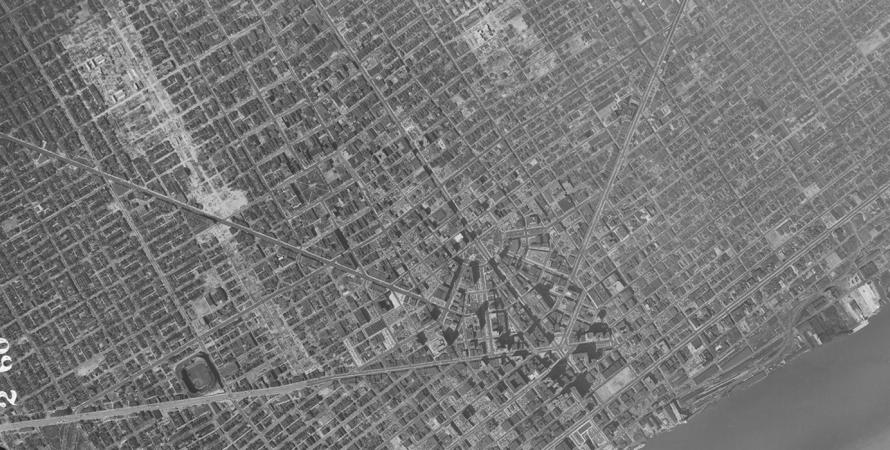
In 1915, the elevated freeway, the Georgia Viaduct, was built to circumvent the tidal waters, rail lines and industries below. This was replaced in 1971 by the twin elevated freeways: the Georgia Viaduct and the Dunsmuir Viaduct as part of a freeway plan drafted during the public love for the freeway in the middle of the 20th century to connect the Eastern Core to downtown Vancouver. The two "mini-bridges" were the only part of this plan that was constructed, thanks to the quick and effective resistance of the surrounding historical neighborhoods' organizations, and due to lack of incentives from the Canadian federal government as opposed to the United States federal government.
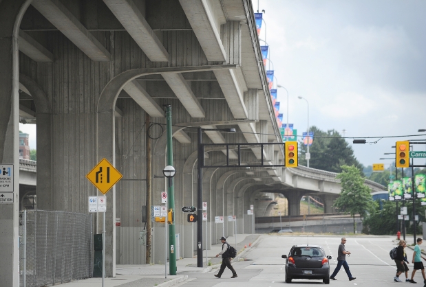
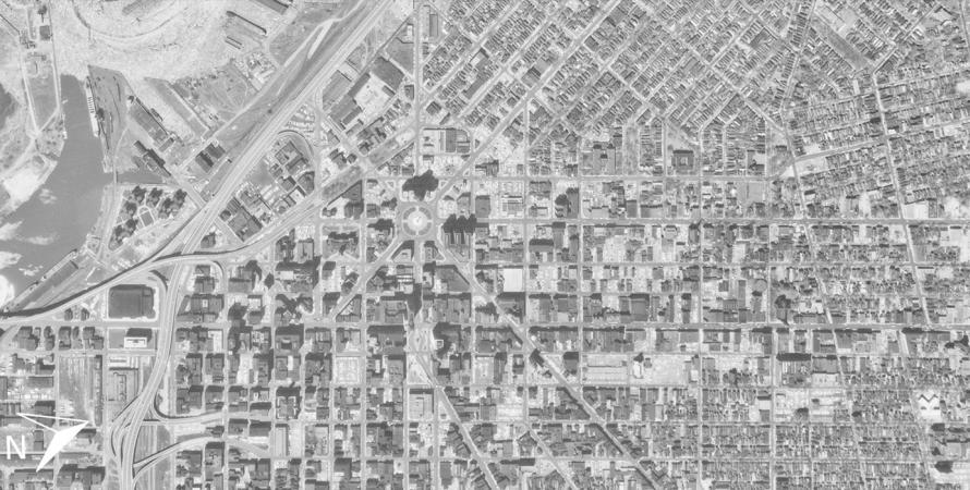
Vancouver's Strathcona neighborhood and Chinatown were the first to be severed in two by the twin viaducts, with around 600 houses destroyed in the name of progress. Then the public opinion turned. In 1967, almost one thousand local inhabitants expressed their disapproval of the freeway plans by protesting outside of City Hall arguing that a "city blighted by the extensive freeway was not the city they wanted to live in". The City Council abandoned the rest of the plan afterwards and only finished the viaducts. Unfortunately, the viaducts still cut several historical neighborhoods in two and became physical as well as visual barriers in the heart of the city, even severing its Main Street.
Proposal
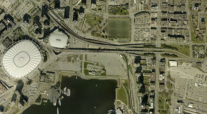
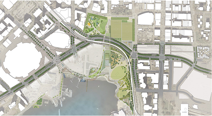
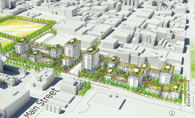
Today Vancouver is a shining example of a city that can function, perhaps better, without freeways cutting through its heart. Over the years a development pattern referred to as "Vancouverism" or "The Vancouver Model" has taken shape which focuses on creating urban town centers, investing in transit and pedestrian facilities, and proactive plans for the inner city. In 2011, Vancouver began a campaign called re:CONNECT to seek out alternative urban design ideas to replace the viaducts with phrases like, "creating a vibrant district," "rebalance movement modes," and "repair urban fabrics" being some of the core goals. The proposed plan will reconfigure the road network at ground level allowing for more park land and mixed-use development and maintaining key transportation routes between the East Core area and downtown Vancouver.
Current Plans
In June of 2013, the City Council unanimously voted to commence a two year, $2.4 million, planning phase to determine the feasibility of the removal of the Georgia and Dunsmuir Viaducts and what will be replacing them. The 2015 conclusion supported removal of the viaducts. Plans to construct a new park, Creekside Park, in a surrounding neighborhood called False Creek could be expanded significantly with the removal of the elevated freeways according to City Councilor, Geoff Meggs. The chair of the Vancouver Chinatown Foundation for Community Revitalization, Carol Lee, was thrilled at the vote, expressing that the "great wall of Chinatown" being removed will finally bring her neighborhood back together again. It is hoped that construction on the viaducts will begin in 2017 and be replaced with new parks, high-density housing and retail space. While construction has yet to begin, there is little opposition, and public opinion is overwhelmingly clamoring for their hasty removal.
Get Involved
Be sure to check out the Future of the Georgia and Dunsmuir Viaduct facebook page for more information and updates, as well as Vancouver's case study website for this project.
Similar Projects
I-375
Detroit, Michigan
I-375 is a 1.06-mile spur that pierces Detroit's downtown. Begun in 1959, this 4-lane, below-grade freeway disconnected Detroit's Riverfront, Greektown, Eastern Market, and Stadium districts.
Buffalo Skyway transformation
Buffalo, New York
Buffalo is a waterfront city with a deep history along the shores of Lake Erie. With more than half of the city's waterfront left vacant, the potential for revitalization is immense.

Gardiner Expressway
Toronto, Canada
Built between 1955 and 1966 by the Ministry of Transportation of Toronto (MTO), Toronto's Frederick G. Gardiner Expressway is a major east-west thoroughfare that connects downtown Toronto to its western suburbs.