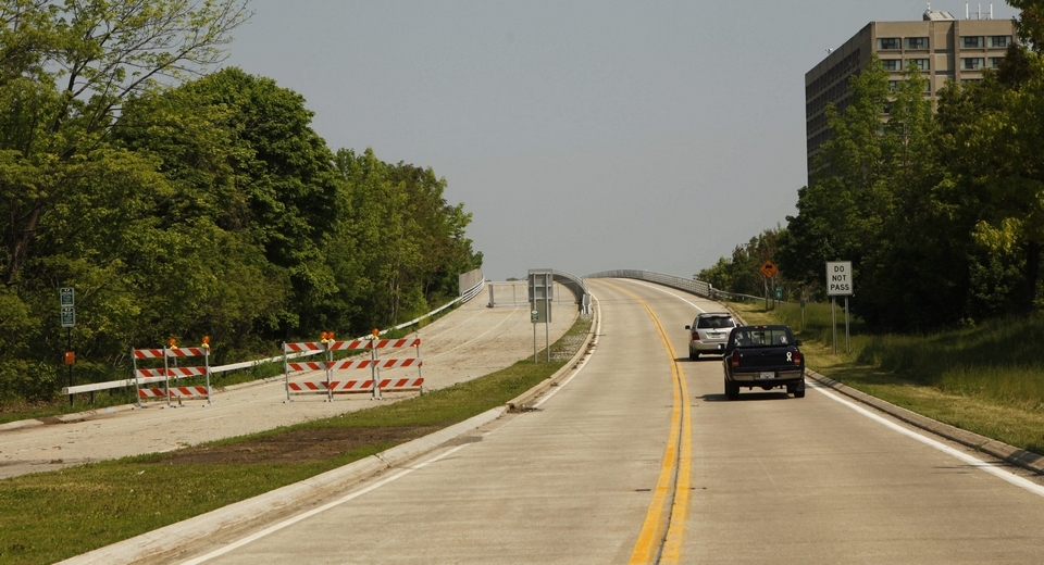
Stretching approximately 18 miles, the Niagara Scenic Parkway, formerly known as the Robert Moses Parkway, stands as a barrier between the City of Niagara Falls and one of the world’s most tremendous natural assets. Built in the 1960's to serve industries along the waterfront —industries that have since vanished — the parkway cut off city residents from the waterfront and inadvertently routed traffic away from the central business districts in Niagara Falls. Now this underutilized highway is showing its age. The parkway’s declining traffic counts prompted the closure of two of the four lanes. This barrier also inhibits ecotourism and the restoration of natural landscapes. The non-profit organization Wild Ones, the Niagara River Greenway Commission, and the City of Niagara Falls have studied the northern section for full removal and ecological restoration.
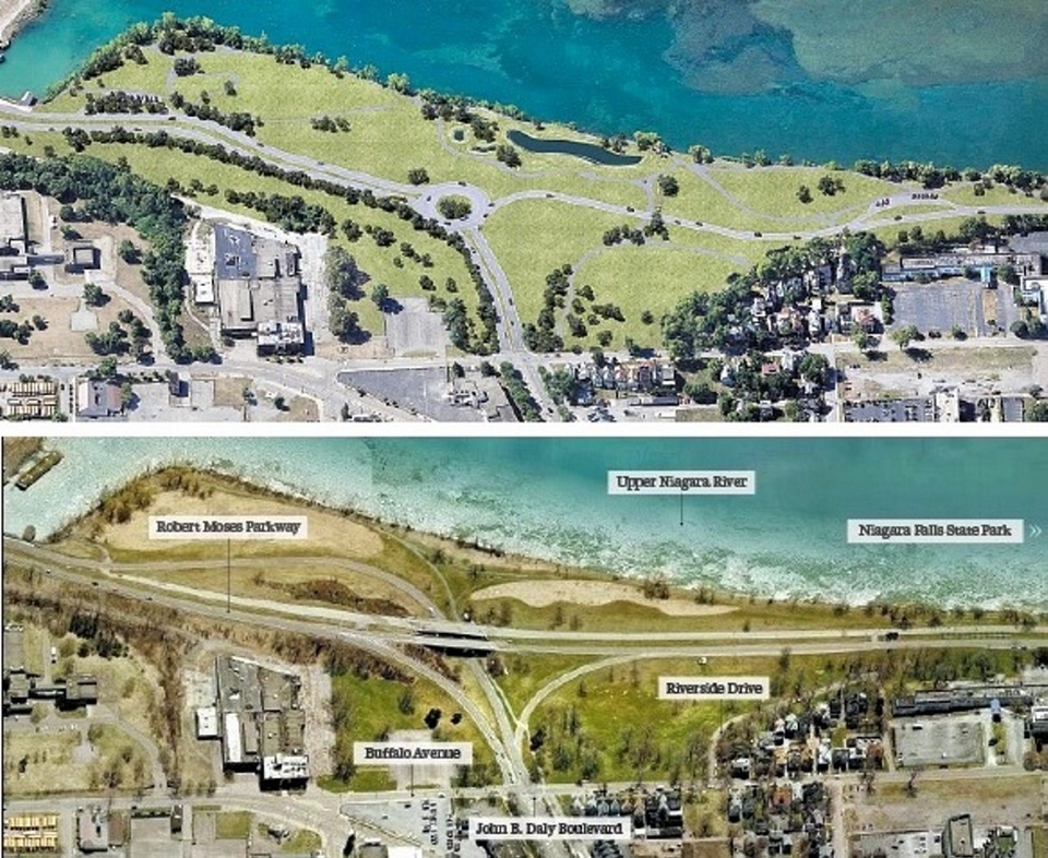
In February 2013, the State of New York agreed to remove at least a 2-mile portion of the freeway from Main Street to Findlay Drive. The reclaimed land will be restored to parkland. The rest of the parkway is still part of considerable discussion, as only one alternative calls for removal of the full length of the parkway. The final report outlines three alternatives that are open for possible amendments in the future and subject to further environmental study. The project will likely occur in at least two phases, with the first possibly breaking ground in 2014. Advocates wanting full removal are cautiously optimistic that more of the parkway will be removed.
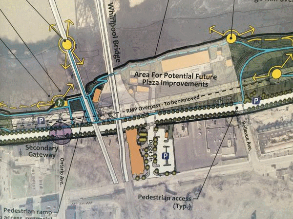
In October 2014, the Empire State Development Board of Directors authorized a grant of up to $10 million for the reconfiguration of a one mile stretch of the Niagara Scenic Parkway in Niagara Falls. The strategic plan outlines measures to increase eco-tourism in the area and re-establish waterfront access to the city. The project will result in the removal of the elevated embankment to at grade, open views and access to the Upper Niagara River and Rapids and will include full landscaping and an access plan with native vegetation, scenic overlooks and multi-purpose trail facilities. The goal is to create a "more fitting gateway experience into Niagara Falls State Park and downtown Niagara Falls."
Similar Projects
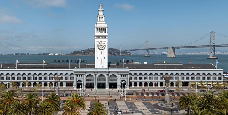
Embarcadero Freeway removal
San Francisco, California
San Francisco's Embarcadero Freeway was originally designed to connect the Bay Bridge and the Golden Gate Bridge but was never completed.

Cheonggye Freeway
Seoul, South Korea
High-volume expressways were a symbol of economic progress after the Korean War in South Korea. In Seoul, “progress” came with an ecological cost.
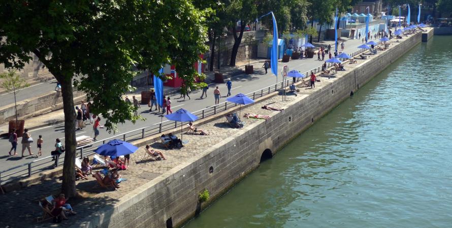
Pompidou Expressway replaced with pedestrian zone
Paris, France
The Seine has long been a source of cultural and artistic inspiration for Parisians and even the world, becoming a UNESCO World Heritage site in 1991.