A lecture given by Andres Duany in the 1990s was among the most successful communications efforts in the early years of New Urbanism. Duany gave this lecture hundreds of times in venues large and small across the US. A book based on this lecture, Suburban Nation, is one of the top selling planning books of the last quarter century.
Duany used two Carousel slide projectors, which set the framework for the lecture. He always showed two slides—one traditional urbanism and the other a comparable slide of sprawl. That format—repeated in many pairs of slides—allowed the audience to think outside of the box because everything was presented as a choice.
Why a choice? Two systems of organizing cities and towns function side-by-side in every US metro region. One consists of walkable mixed-use neighborhoods favored by new urbanists. The other is automobile-oriented, separated-by-use sprawl that has dominated new growth for much of the last seven decades. If a community doesn't choose neighborhoods over conventional suburbia, the drive-only system will tend to prevail due to land-use codes and infrastructure practices.
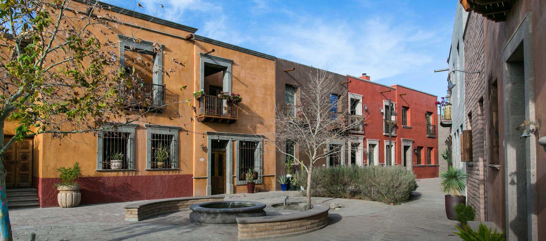
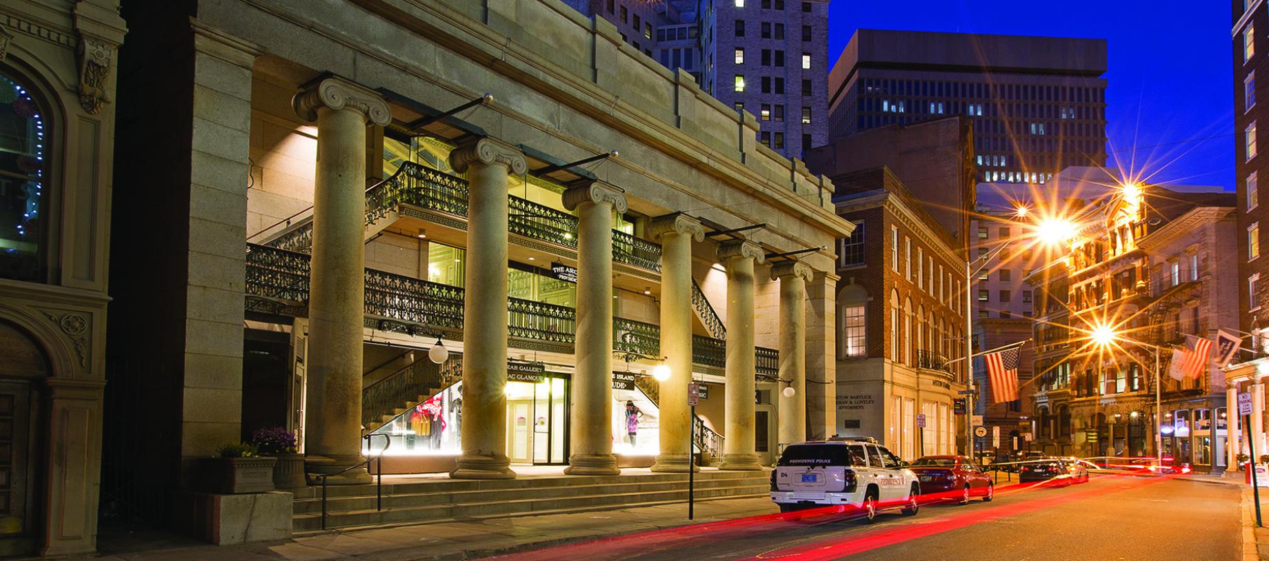
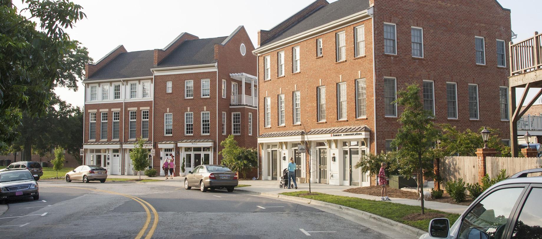
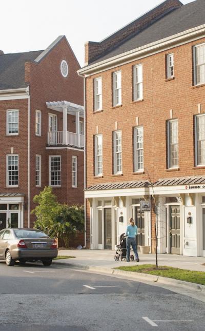
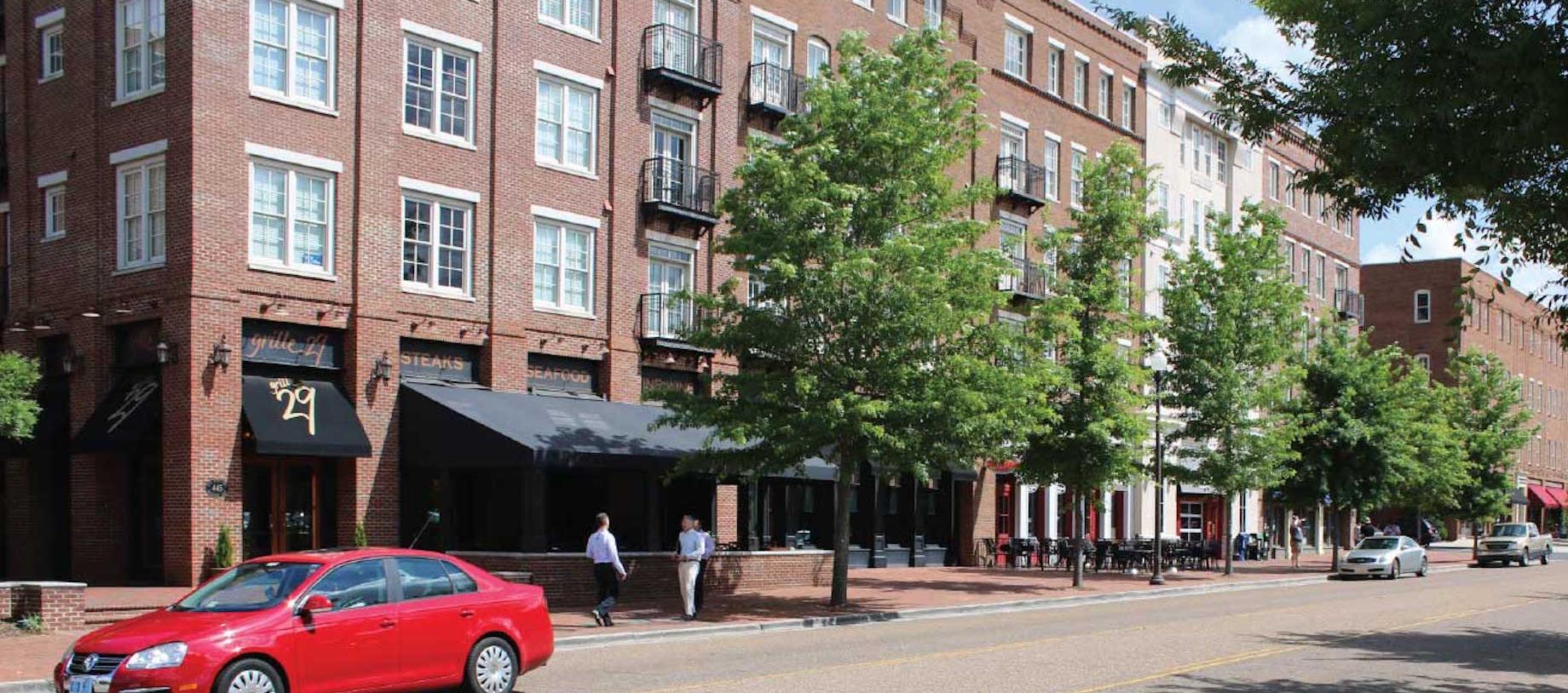
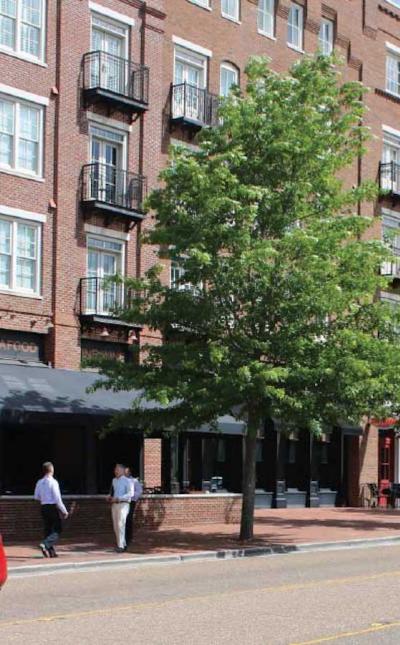
When compared side-by-side, advantages to walkable places are obvious. Audiences may not be aware of how public laws, policies, and investments created the system of drive-only suburbia—but that is easily explained in a comparative format. Audiences tend to favor photos and illustrations of walkable neighborhoods and downtowns compared to drivable suburbia. See the split image of the same place in Fayetteville, Arkansas, at the top of this page. In the visual transformation, the conventional commercial strip is transformed to an appealing mixed-use place. That's a powerful tool for changing perceptions.
Research favors walkable neighborhoods based on safety, cost, value, health, markets, and other topics. Comparisons of these two systems—i.e. urban/sprawl, walkable/drivable, System A/System B—make for strong communications both conceptually and visually. Read more about comparing the two systems here.
Photo courtesy of Steve Price, Urban Advantage.

