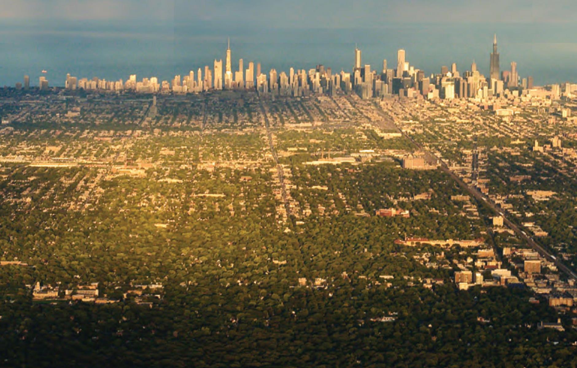
Regional Transect of Chicago
Today I am driving to the Windy City, shown above in a regional Transect—looking east from leafy suburban areas across city neighborhoods to the downtown Loop. I just finished reading and reviewing Transect Urbanism: Readings in Human Ecology, and this photo by Robert Elves is included in that worthy book.
This photo makes it look as if all of Chicago forms a single Rural-to-Urban-Transect, from the farmland of Illinois (not visible but implied) to the skyscrapers that soar more than a thousand feet—and then the abrupt drop-off to Lake Michigan. A ground exploration, however, would reveal a patchwork of Transect zones throughout the photo. Five of the six Transect zones are included—the only one missing is the Rural zone (from this position, the camera would have to face west to see countryside).
Although the normative Transect is on the sub-neighborhood scale, there is such a thing as a regional Transect. From a distance the complexity disappears, but the regional Transect includes many place-types such as core city and smaller cities, small and large towns, small and large villages, and hamlets (in addition to sprawl). The photo above covers a small part of the Chicago region.


