-

Currie
From Cowtown to World-Class UrbanismNicknamed “Cowtown,” the city of Calgary historically served as the center of Canada’s cattle and meatpacking industries. In recent decades, a booming oil industry and the nation’s fastest-growing economy have swelled Calgary’s increasingly diverse population to more than a million people—demanding...Read more -

Master Plan for the Town of LaFox, Illinois
A New Agrarian Town, Connected to the CityThe vast majority of the United States’ metropolitan edge is currently built in low-density, disconnected sprawl. Now, in LaFox, Illinois, students are envisioning a new low-rise agrarian railroad town—with greater density than Chicago—surrounding an existing station. By taking advantage of an...Read more -
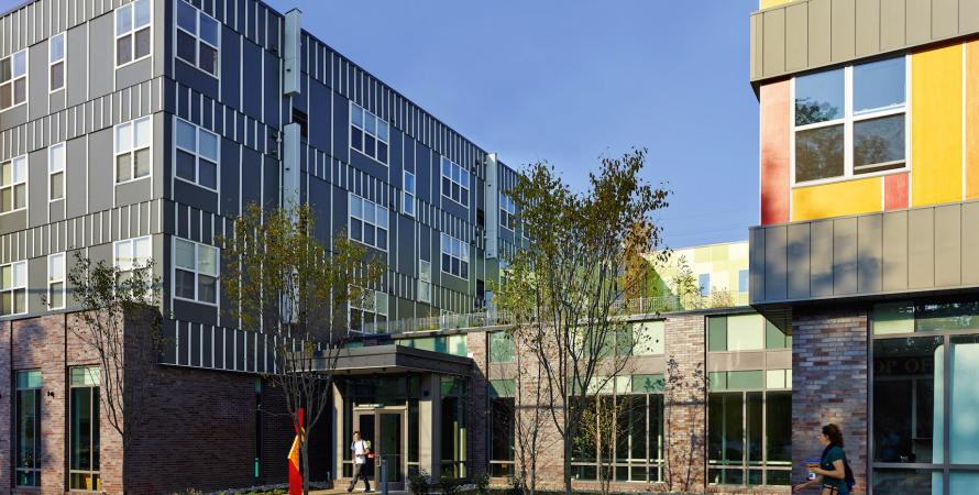
Paseo Verde
A model for transit-oriented revitalizationOnce a railway coal siding and more recently a full city block of asphalt surface parking, North Philadelphia’s Paseo Verde now provides affordable, high quality, sustainable housing for a range of income levels. The development, by Jonathan Rose Companies and Asociacíon Puertorriqueños en Marcha,...Read more -
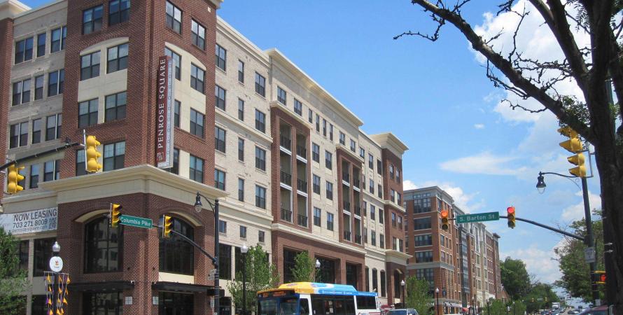
Columbia Pike
A code transforms a commercial strip corridorFirst built over 200 years ago as a toll road connecting Washington, D.C. to greater Virginia, the Columbia Pike now serves as a direct route to the Pentagon and other capital landmarks. Until recently, this Arlington, Virginia thoroughfare was an aging commercial strip stifled by outdated single-...Read more